a blog by Peter Leonard


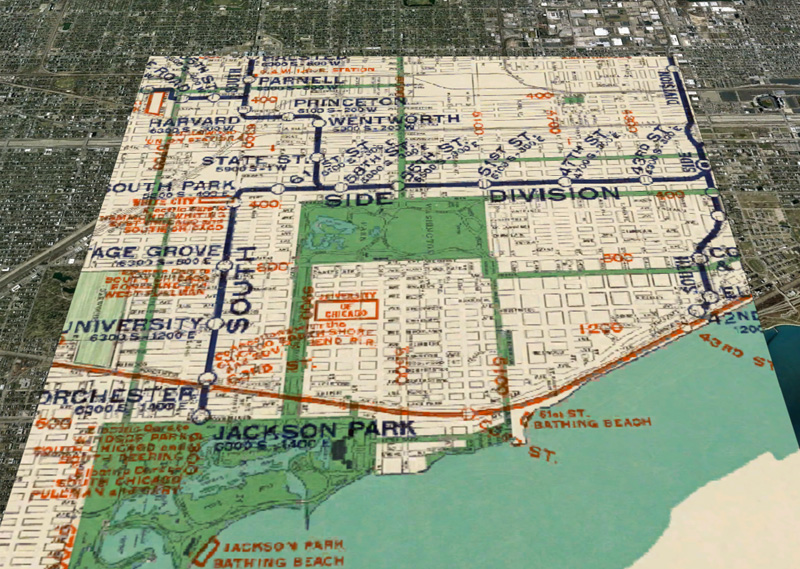
I was curious what it would look like to take this Rand McNally map of Chicago public transportation networks circa 1926 and overlay it on Google’s modern aerial photography of the city.
When I first came to Hyde Park in 1993, there was an El track along 63rd street. That part of the Green Line was torn down by the time I left in 1997.
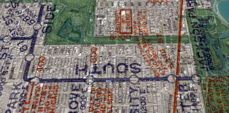
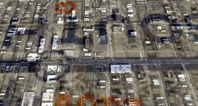
63rd is certainly lighter and more open, but the demolition of the overhead tracks has hardly spurred economic development. The colored lines of the 1926 map hover over a mostly-vacant streetscape of today.
I did this experiment with ArcGIS (for rectification) and GeoServer (for serving the map tiles into Google Earth.)